TerroirView®
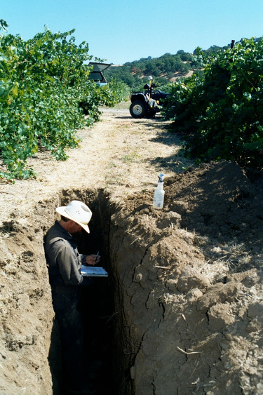
TerroirView® is CVC's unique, trademarked, comprehensive soil evaluation that describes your
vineyard's distinctive Terroir. TerroirView employs GPS and GIS technology, complete laboratory
chemical analysis, soil profile descriptions and photographs to produce soil amendment, soil
enhancement and rootstock recommendations, site specific soil maps, waterholding capacity ratings
and vineyard design and layout maps.
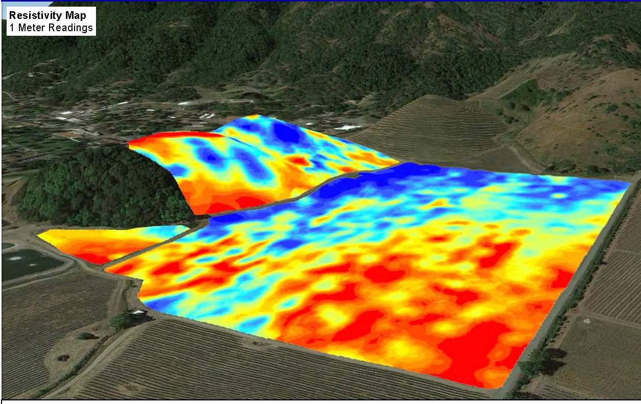

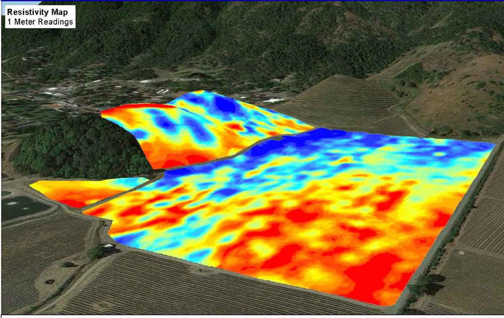
Soil Resistivity Mapping

CVC uses the most accurate technology and methods for measuring soil resistivity. This cutting edge soil resisitivity technology is combined with a Global Positioning System (GPS) to produce CVC's geo-referenced Soil Resistivity Maps. Soil Resistivity Maps precisely locate changes in soil conditions. These changes in the soil conditions are then described, evaluated and quantified by an experienced and Certified CVC Professional Soils Scientist in the TerroirView phase of the soil study. CVC mapping products are entirely the work of our professional staff which has distinguished CVC as leader among its competitors.
Slope and Aspect Maps
CVC uses contour data to develop maps with percent slope, aspect and approximate acreage to spatially define the soil resources of a project. The slope maps will classify specific slope categories and approximate acreage within each category.
Soil Resistivity and Slope / Aspect Maps
Combined with TerroirView ®, they provide an extensive evaluation of the
vineyard soils and resources that is a powerful tool for vineyard management, planning and
optimizing wine quality. CVC utilizes the soil, slope and climate data to design vineyard
blocks, irrigation layout, row orientation, rootstock and variety, vine and row spacing and
trellis systems.