Geographic Information Systems (GIS)
A geographic information system (GIS) integrates hardware, software, and data for
capturing, managing, analyzing, and displaying all forms of geographically referenced information
and has become an essential element of effective vineyard management.


GIS is a platform to better manage, evaluate and present spatial data in a useful visual format. GIS improves your decision-making by combining data with accurate locations in your vineyard. GIS is the cornerstone of Precision Viticulture.
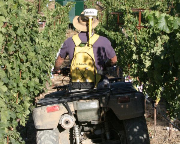
Coastal Viticultural Consultants, Inc. (CVC) has an experienced GIS team on staff. We don’t use third parties to produce our GIS products. CVC controls the processing and interpretation of data from start to finish. This ensures high quality products that can be relied upon for making decisions in your vineyard. CVC can collect the field data or import data collected by your personnel. The data is then evaluated and processed using the latest GIS techniques to produce informative, accurate and useful maps. CVC also provides data and database management services for our clientele.
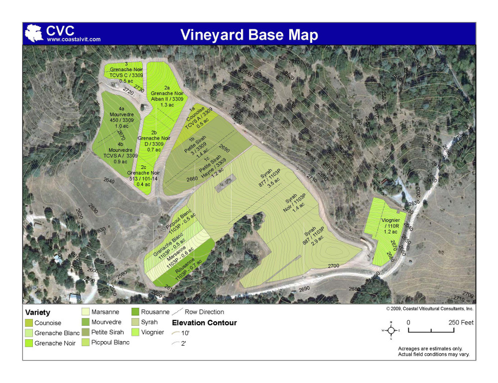
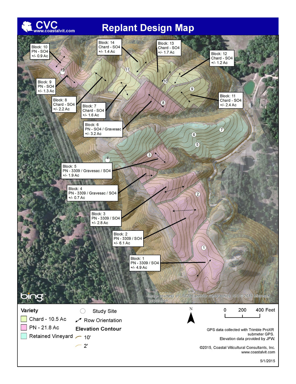
GIS is utilized in existing or proposed vineyard plantings. Some GIS applications provided by CVC are listed below:
- Base maps to overlay aerial imagery, soil mapping and vineyard observations.
- Maps for Climate, Frost Hazard or Trellis Modification Studies.
- Maps to guide field crews or subcontractors.
- Locating soil types, vine vigor or fruit quality changes in existing vineyards.
- Planning a vineyard development (soil type boundaries, row orientation, block boundaries, etc.)
- Vineyard block layouts using topographic data.
- Estimation of vineyard development materials.
- Locating infrastructure (structures, wells, erosion control features, etc.)
- Assisting clients with permitting, and regulatory compliance with local, state and federal agencies.
- Maps for vineyard certification or sustainability programs such as Oregon's LIVE (Low Input Viticulture and Enology), Organic Farming Certification or Fish Friendly Farming.
 |
 |